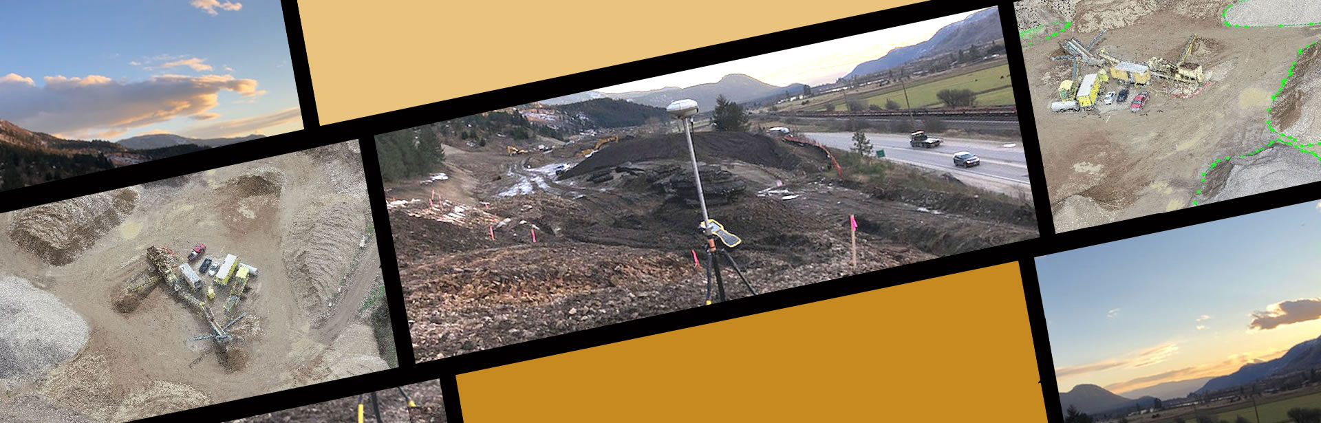
Using photogrammetry to stitch images captured by drones, we are able to recreate site topography to create maps and analyze ground data. This ground data may be broken down to calculate stockpile volumes as well as required cut or fill volumes.
We also offer earthworks volumes calculated using a GPS to create and compare surfaces for precise quantities. Knowing the volumes remaining or in excess on a project is essential to ensuring the project is completed on budget and as designed.